Line 1 — Riyadh Metro (Blue)
SAB Bank ↔ Ad Dar Al Baida — 25 stations across 38.0 km; the line opened on 1 December 2024 and several of its stations followed in early 2025. Every station, journey time, interchange and the operating hours of Line 1.
Stations
Length
Opened
Interchanges
SAB Bank ↔ Ad Dar Al Baida
Line 1 (Blue) is the spine of the Riyadh Metro. It runs 38 km (24 mi) from SAB Bank at the northern edge of the city down to Ad Dar Al Baida in the south, and with 25 stations it serves more stops than any of the network’s other five lines. Its route follows Olaya Street and, further south, Al Batha — the axis Riyadh has grown along for decades — so a single ride strings together the King Abdullah Financial District, the Olaya office towers, King Fahad District, King Fahad Library, the Ministry of Interior and Al Muorabba, before dropping into historic Riyadh at National Museum, Al Bat’ha and Qasr Al Hokm and finishing among the dense southern districts of Manfouhah, Al Aziziah and Ad Dar Al Baida. The engineering changes as it goes: elevated in the north, deep bored tunnel beneath Olaya and the city centre, then back onto a viaduct south of Al Owd. Because it meets all five other lines — at KAFD (4 and 6), stc (2), National Museum (5) and Qasr Al Hokm (3) — Line 1 is where most cross-city journeys change: King Khalid Airport is one change away on Line 4, the ministries quarter on Line 5, east Riyadh on Line 3.
| Length | 38 km (24 mi) |
|---|---|
| Stations | 25 stations |
| Opened | 1 December 2024 (several stations in early 2025) |
| Termini | SAB Bank ↔ Ad Dar Al Baida |
| Interchanges | KAFD (4, 6) · stc (2) · National Museum (5) · Qasr Al Hokm (3) |
| Alignment | Elevated at the northern and southern ends, deep tunnel through the middle |
Stations on Line 1 (25 stations)
Line 1 · SAB Bank ↔ Ad Dar Al Baida
Journey time between stations
| From | To | Time | |
|---|---|---|---|
| SAB Bank | → | Dr Sulaiman Al Habib | 3 min |
| Dr Sulaiman Al Habib | → | KAFD | 8 min |
| KAFD | → | Al Murooj | 3 min |
| Al Murooj | → | King Fahad District | 2 min |
| King Fahad District | → | King Fahad District 2 | 2 min |
| King Fahad District 2 | → | stc | 2 min |
| stc | → | Al Wurud 2 | 1 min |
| Al Wurud 2 | → | Al Urubah | 2 min |
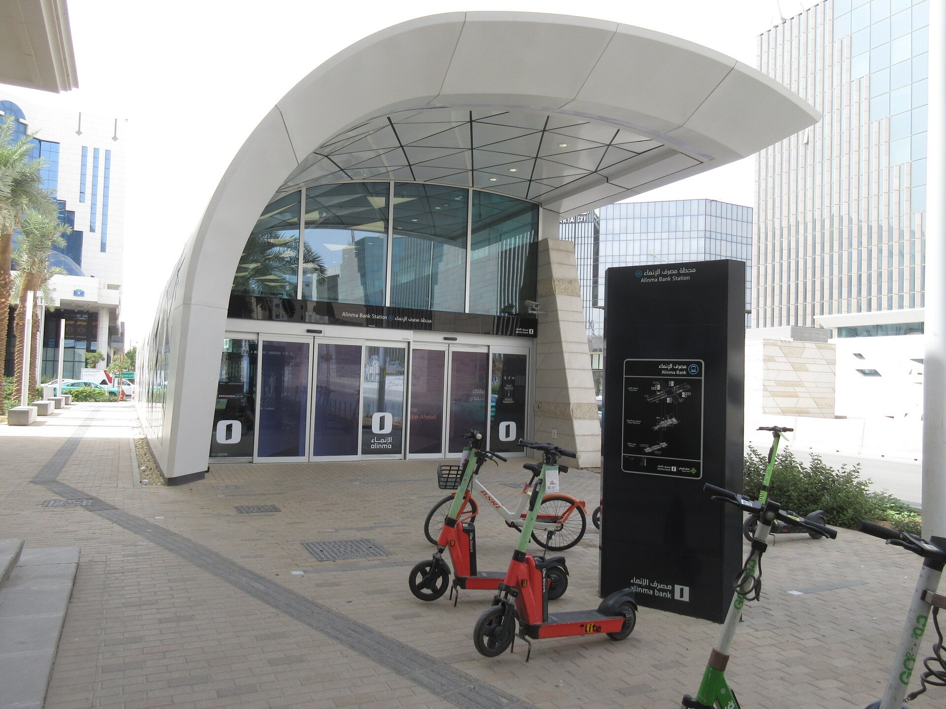
| Al Urubah | → | Alinma Bank | 2 min |
| Alinma Bank | → | Bank Albilad | 1 min |
| Bank Albilad | → | King Fahad Library | 1 min |
| King Fahad Library | → | Ministry of Interior | 3 min |
| Ministry of Interior | → | Al Muorabba | 2 min |
| Al Muorabba | → | Passport Department | 1 min |
| Passport Department | → | National Museum | 3 min |
| National Museum | → | Al Bat'ha | 1 min |
| Al Bat'ha | → | Qasr Al Hokm | 2 min |
| Qasr Al Hokm | → | Al Owd | 1 min |
| Al Owd | → | Skirinah | 1 min |
| Skirinah | → | Manfouhah | 1 min |
| Manfouhah | → | Al Iman Hospital | 2 min |
| Al Iman Hospital | → | Transportation Center | 2 min |
| Transportation Center | → | Al Aziziah | 3 min |
| Al Aziziah | → | Ad Dar Al Baida | 5 min |
Approximate times between adjacent stations in normal service. Waiting time on the platform is not included.
Did you know?
- With 25 stations Line 1 has more stops than any other line on the network, and it is the only line that meets all five others — which is why most journeys that need a change of line pass through it.
- Two of the network's best-known station buildings sit on Line 1: KAFD, designed by Zaha Hadid Architects, and Qasr Al Hokm, designed by the Norwegian practice Snøhetta in the heart of old Riyadh.
- Every Riyadh Metro train is driverless and fully automated, so a passenger standing at the front of a Line 1 train looks straight down the tunnel through the windscreen — a view no metro with a driver's cab can offer.
Interchanges and connections
KAFD — interchange with Lines 4 and 6
One station shared by three lines. Line 4 sets off from here for King Khalid Airport and Line 6 for east Riyadh, the two running together over a four-station trunk before they part.
stc — interchange with Line 2
In the middle of Olaya, where the north–south spine crosses the King Abdullah Road axis running west to King Saud University and east to King Fahad Sport City.
National Museum and Qasr Al Hokm — interchange with Lines 5 and 3
National Museum opens onto Line 5 for the ministries quarter, while Qasr Al Hokm opens onto Line 3 for the western and eastern sides of the city.
Transportation Center — the Riyadh bus network
An elevated station south of the centre where you can pick up the darb bus routes run by the Riyadh Public Transport Authority, on the same ticket and within the same two hours.
Hours and train frequency
See the full operating hours, how often trains run at each time of day, and the first and last trains across the Riyadh Metro network.
Bookmark this site before your next trip
We update riyadhmetro.org as soon as anything changes — a shift in operating hours, a service disruption, a change in ticket prices or any important announcement from the Riyadh Public Transport Authority. Save this page to your bookmarks and check it before you travel so you always have the latest information.